- Topics
- Feature
- Opportunities & Events
- About
- Hindi Portal
- Data
- Topics
- Feature
- Opportunities & Events
- About
- Hindi Portal
- Data

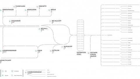
To visualize the water quality of Chennai over its existing water supply infrastructure map.
It was necessary to create a good reference map over which the data for water quality could be traced. Excessive details such as the road network of the city, or landmarks such as parks and important buildings needed to be weeded out. However, since the data was closely-linked with different locations around the city, it was necessary for the visualisation to retain some geographical relevance.
NEERI report
Maps*
* Done by Tejas Panda, Consultant with IWP